

This post is a follow-up to a previous discussion that looked at public maps and orientation in the context of Tokyo.
In New York City subway maps typically orient north towards the top following a standard practice. The maps are aligned slightly off true north to suit Manhattan’s predominant street grid. A north arrow is in many cases not provided at all on subway maps, at both the system wide and neighbourhood scale. In Manhattan at grade, a general understanding of direction is aided by the street grid, (Avenues north-south, Streets east-west), the proportion of city blocks, as well as by relationships to major landmarks including significant buildings, the Hudson and East Rivers, and Central Park. At street level direction is often intuitively understood. The terms uptown and downtown here may at times refer to a specifically defined area , however the words are also interchangeably used to simply mean north and south.
While there is a good chance of being right about direction on a sidewalk, below grade this would less commonly be the case. The subway map system, following the predominant convention, locates one to a relative point but without providing a direction. Other miscellaneous maps and diagrams including bus maps may be turned around for us to simplify way-finding.
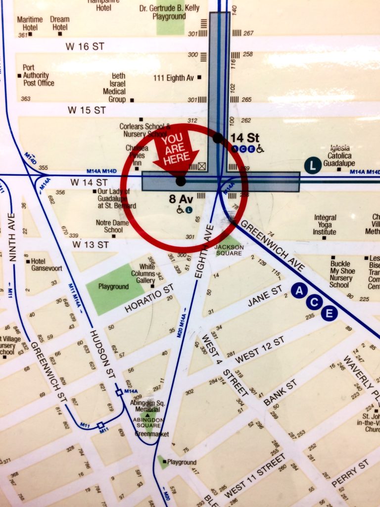
You Are Here Now Standard Manhattan subway map. North on top is understood – a north arrow is not included.
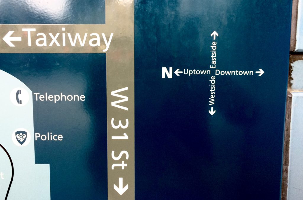
Taxiway Eastside is on top as one is physically facing east looking at this diagram. As a relative direction, Uptown is simply left, Downtown right.
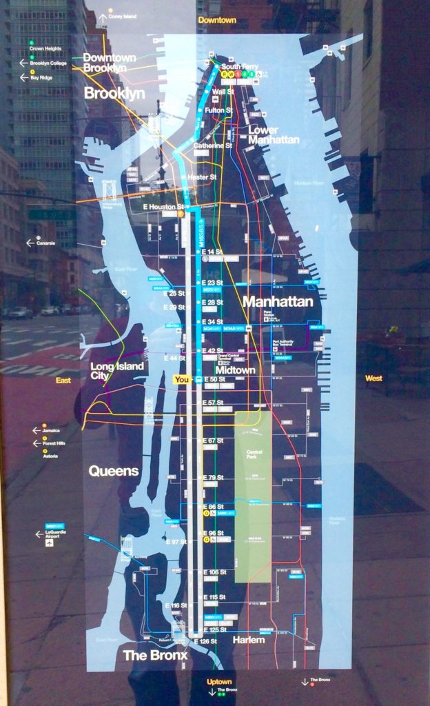
Bus Map Bus map with with north on bottom. The words north and south have been replaced by Uptown and Downtown.
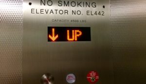
Up Is Down In this case, one is traveling from street level to the subway’s Upper Platform.
Fall Protection Required Beyond This Point